At Exit 121 on I-70 is the Grizzly Creek rest area and trailhead. This is a great hike that traverses up the canyon along side of the creek.
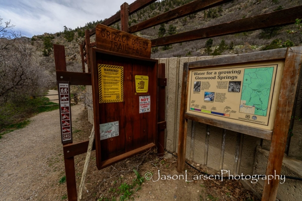
Sign with map of the canyon trail.
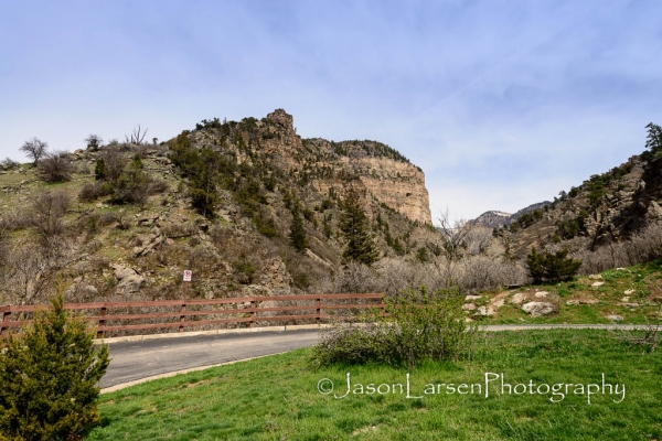
View from the parking lot looking up canyon.
My destination for the day hike was the diversion dam and the water pipe for Glenwood Springs. The map lists it at mile 3.5 up the trail. Due to snow and not having been here before I some how missed the dam and pipe. After 4.5 miles the snow on the trail was increasing and frankly fatigue was setting in on this fat body of mine!
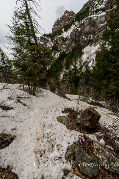
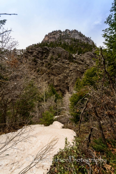
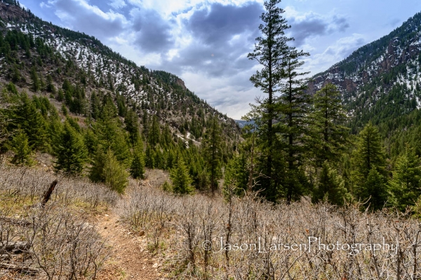
A photograph of the trail close to where I decided to turn around.
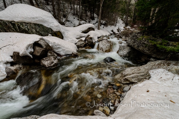
View of the creek showing how much more snow there was on the creek banks near the farthest point in my hike. I went off the trail through some deeper snow to get to the side of the creek.
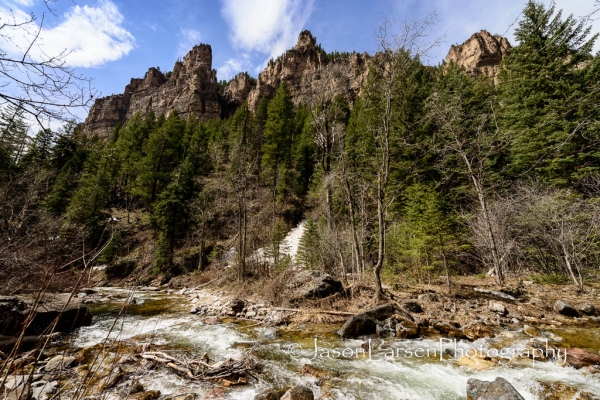
I am finding that I am leaving the Nikon 14-24mm lens on my camera most of the time! It is an amazing lens for landscape photography despite its inability to take filters. The wideness of the lens still amazes me. Having the ability to stand next to the creek and still get the canyon walls in the shot is wonderful for composition and creativity.
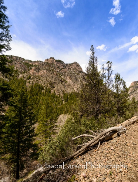
The creek and trail run through a steep sided canyon with wonderful views.
This is the view looking back down the canyon towards I-70.
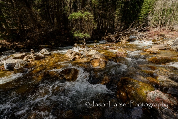
Normally I’m not a big fan of the “rock stacking” that seems to be popular, but these were nice out in the middle of the creek. In places like Arches National Park where cairns are used for their correct purpose to guide hikers along an unmarked trail over sandstone, these random cairns can be confusing and dangerous. On the other hand I have seen some amazing works of art with rock balancing/stacking.
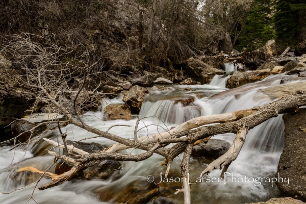
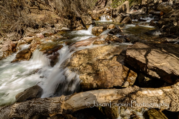
As the day progressed the cloud cover rolled in and it became overcast. This was helpful for me taking photographs of the moving water with out a Neutral Density filter. The shots of the creek early on, like the one below, were difficult due to the bright sunlight conditions.
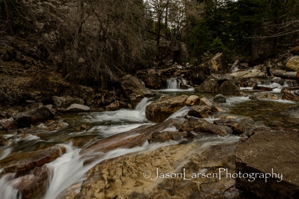
Here is a photograph from near the end of the day showing the difference in the amount of sunlight filtering through to the creek.
All in all a very enjoyable hike. For those interested I’m including the GPS data from my Mapmyride/Mapmyrun apps.
http://www.mapmyride.com/workout/534938938
As always here are the rest of the photographs from the day. Thanks for visiting and reading. 🙂


